Seismic Refraction
Used to model subsurface velocity structure and estimate depth to bedrock and infer material stiffness and rippability.

Seismic methods measure the propagation of seismic waves through the ground to map subsurface structure and material properties such as stiffness, density contrasts and rippability. These techniques provide valuable insight for geotechnical, infrastructure and marine investigations.
Contact UsSeismic methods are widely used in geotechnical engineering to characterise subsurface conditions, from mapping depth to bedrock through to developing 2D and 3D models and deriving engineering parameters for design.
A typical land seismic survey uses surface geophones to record the travel times of waves generated by controlled energy sources. In marine environments, geophone arrays are replaced with hydrophones deployed at or below the water surface.
This flexibility allows seismic techniques to be applied across both land and marine environments, including sites where access or ground conditions limit other investigation methods.
GBG Group Australia has extensive experience applying seismic techniques across both onshore and offshore environments.
Seismic refraction is commonly used to map depth to rock and infer material stiffness and rippability, while MASW provides shear wave velocity profiles for engineering design. Passive methods such as refraction microtremor can extend depth of investigation where active surveys are constrained. Borehole seismic methods (Cross-Hole and Tomographic) are used where site conditions limit conventional layouts or where higher resolution data is required at depth.
By combining complementary seismic methods, we improve the reliability of results and confidence in interpretation.
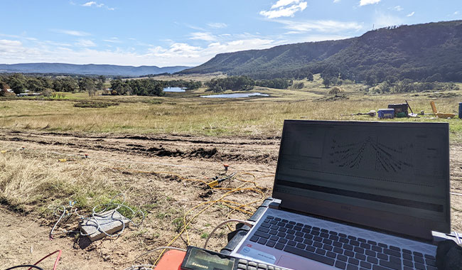
Used to model subsurface velocity structure and estimate depth to bedrock and infer material stiffness and rippability.
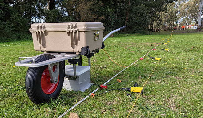
Images subsurface geological layers and interfaces using reflected seismic waves, supporting detailed investigation of stratigraphy and structure at greater depths.
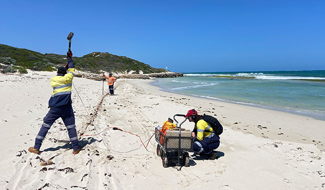
Determines shear wave velocity profiles and supports derivation of engineering parameters such as shear stiffness for the shallow subsurface.
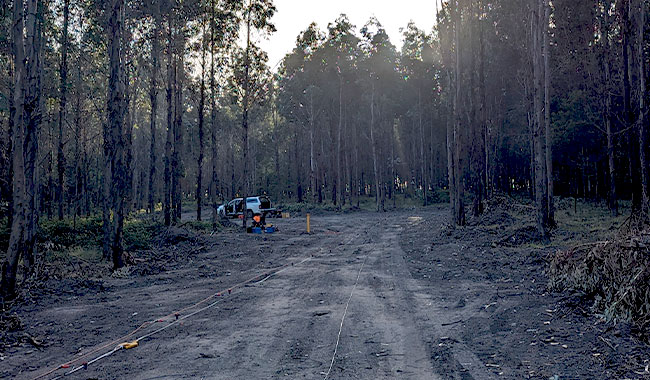
A passive method using ambient vibrations to estimate deeper velocity structure where active sources are limited.
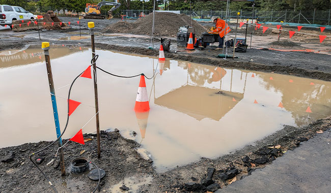
Provides higher resolution imaging at depth and between boreholes for detailed characterisation.
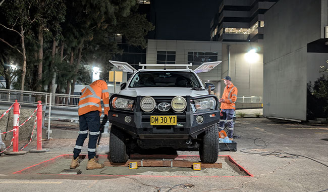
Measures seismic velocities at depth and supports correlation between surface and borehole data.
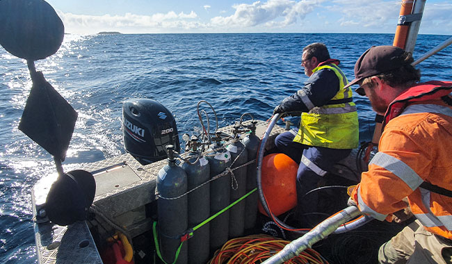
Used to investigate subsurface conditions beneath water bodies, including sediment thickness and depth to rock.
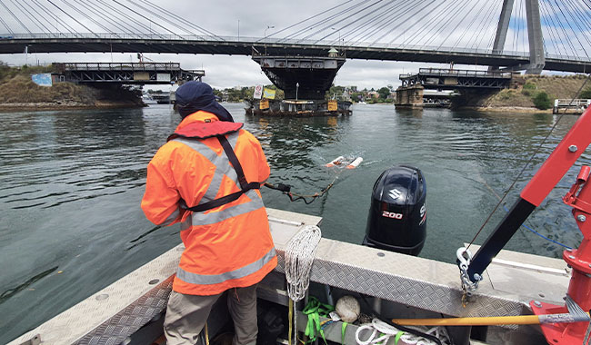
Images shallow subsurface layers beneath the seabed.
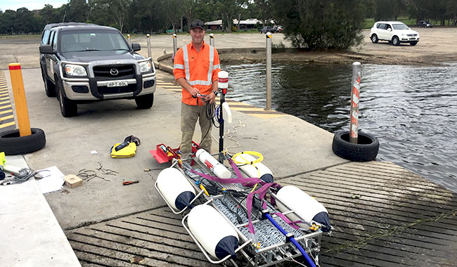
Provides deeper imaging of geological layers beneath the seabed, supporting investigation of stratigraphy, structure and depth to geological interfaces.
A seismic survey uses controlled energy sources to generate waves that travel through the ground. These geophysical seismic methods measure how waves travel through and are refracted within the ground.
Seismic methods are geophysical techniques that use seismic waves to investigate subsurface conditions. By measuring how seismic waves travel through the ground, these methods provide information about subsurface layering, material stiffness, depth to bedrock and geological structure, supporting geotechnical, infrastructure and marine investigations.
Seismic refraction is used to determine subsurface velocity and estimate depth to bedrock, making it a key seismic refraction survey method for geotechnical investigations.
A MASW survey is a surface wave analysis geophysics method used to measure shear wave velocity, which is directly related to the stiffness and engineering properties of the ground.
Seismic refraction focuses on compressional wave velocities and layer boundaries and generally assumes that seismic velocity increases with depth. MASW measures shear wave velocity, which relates directly to stiffness and engineering properties, and can resolve softer materials overlying stiffer layers. The two methods are complementary and are often used together.
Yes. Seismic refraction survey techniques are widely used to map bedrock depth and subsurface layering.
To design an effective seismic survey, we require site access, survey length, target depth and project objectives to determine the most suitable seismic testing approach.
Deliverables include processed sections, velocity models and interpreted geological models from seismic survey data, tailored to project requirements.
With over 30 years of experience in Australia, GBG delivers reliable seismic survey and seismic testing solutions, combining technical expertise with practical project delivery.
Seismic methods provide detailed subsurface information by analysing wave propagation, supporting engineering design and site investigation.
Seismic survey data is commonly integrated with drilling, laboratory testing and other geophysical datasets to improve interpretation and reduce uncertainty.
A range of seismic testing methods are used depending on site conditions, required depth of investigation and project objectives.
Seismic refraction and MASW survey techniques provide complementary information on subsurface layering and engineering properties.
Marine seismic survey and borehole seismic survey methods extend seismic investigation capability to offshore and constrained environments.
These geophysical seismic methods support geotechnical, marine and environmental investigations, providing critical data for design and risk assessment.

Our experienced geophysical survey specialists work closely with engineers and project teams to design investigation strategies tailored to site conditions, risk profiles and engineering objectives. Speak directly with a geophysicist to discuss your project.
Please complete the form below and a member of our team will be in touch as soon as possible.
Partnering with industry leaders to strengthen technical capability and project delivery.