
Overview
Location
New South Wales
Year
2022
Sector
Methods
Seismic Refraction (Explosive)
Shear-Wave Seismic Reflection
Multichannel Analysis of Surface Waves (MASW)
Background
GBG Group was engaged to conduct a geophysical investigation for a major motorway extension project in regional New South Wales, as part of a broader transport infrastructure upgrade.
The scope covered two key components of the alignment: a planned rock cutting and a viaduct section. These areas presented different geotechnical challenges and required tailored seismic approaches to support design and construction planning.
Two separate investigations were undertaken and integrated into a single interpretive framework, providing continuity across the broader project corridor and supporting the geotechnical model.
The project has since progressed into the construction phase, with the geophysical data forming part of the design basis for both earthworks and structural elements.
Objective
To provide high-quality subsurface information to support the design of both a major cutting and viaduct structure, including:
- Rock profile and depth to refusal
- Seismic velocity structure
- Identification of variable ground conditions
- Inputs for geotechnical and structural design
Methods
Rock Cutting
- Explosive Seismic Refraction
- Multichannel Analysis of Surface Waves (MASW)
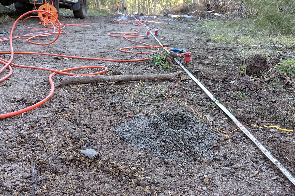
Explosives were used as the primary seismic source to achieve strong energy penetration and reliable first arrivals, particularly in areas of variable or deeper rock. Alternative sources including PEG-40 and sledgehammer were used where required due to site constraints.

Viaduct
- Shear-Wave Seismic Reflection
- Multichannel Analysis of Surface Waves (MASW)
A high-resolution shear-wave reflection approach was adopted to image subsurface layering and structure along the proposed viaduct alignment. This method provided improved resolution compared to traditional P-wave approaches, particularly in areas of complex ground conditions.


Outcome
The investigation provided a reliable geotechnical framework across both project areas, reducing uncertainty between intrusive investigation points and improving confidence in design assumptions.
At the cutting location, seismic refraction defined depth to rock and material variability, supporting excavation planning, constructability assessment, and risk reduction.
At the viaduct location, shear-wave reflection provided detailed imaging of subsurface layering and stiffness contrasts, supporting foundation design and assessment of ground conditions beneath the structure.
By integrating both datasets, the project delivered a continuous geotechnical model across the alignment, enabling more informed engineering decisions during design and construction.


