Side Scan Sonar
Using high-frequency sonar pulses to generate high-resolution seafloor imagery which can be used for the mapping of both natural features and seafloor debris.

Applications
- Seafloor mapping
- Hazard identification
Method
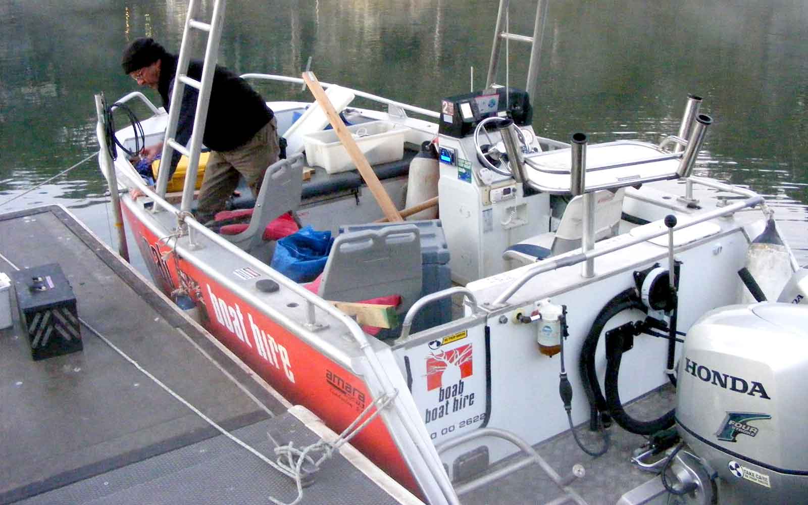
The Side Scan Sonar method uses high-frequency sonar pulses to generate high-resolution seafloor imagery which can be used for the mapping of both natural features and seafloor debris.
Data Analysis & Presentation
Analysis of the collected SSS involves manually reviewing data imagery to delineate surface materials (e.g. surface gravels, rocks) or to identify seafloor hazards such as wrecks, waste material or remnant infrastructure.
Case Studies
GBG has completed over 1000 projects since its conception with multiple stakeholders and countless clients. GBG is proud to showcase some of these projects.
Enquire Now
We look forward to discussing your project with you, please complete the form below or contact one of our offices directly.
Please note: GBG Group is compliant with the General Data Protection Regulation (GDPR). To learn more about how we collect, keep, and process your private information in compliance with GDPR, please view our privacy policy. *


